
Remote sensing & marine modelling
Supporting remote-sensing and marine-modelling activities in Sub-Saharan Africa and Vietnam
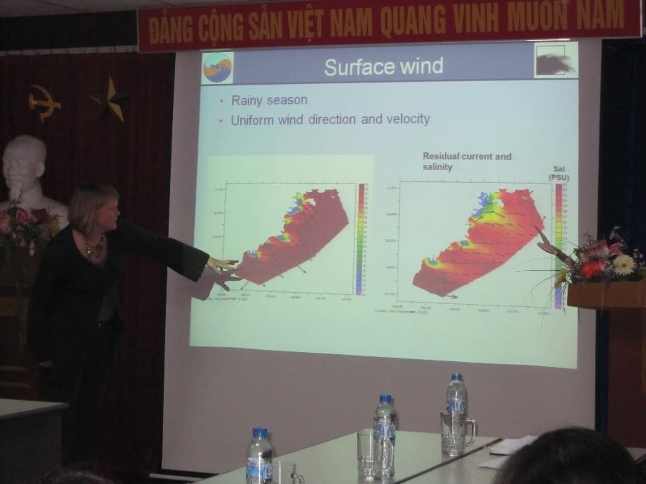
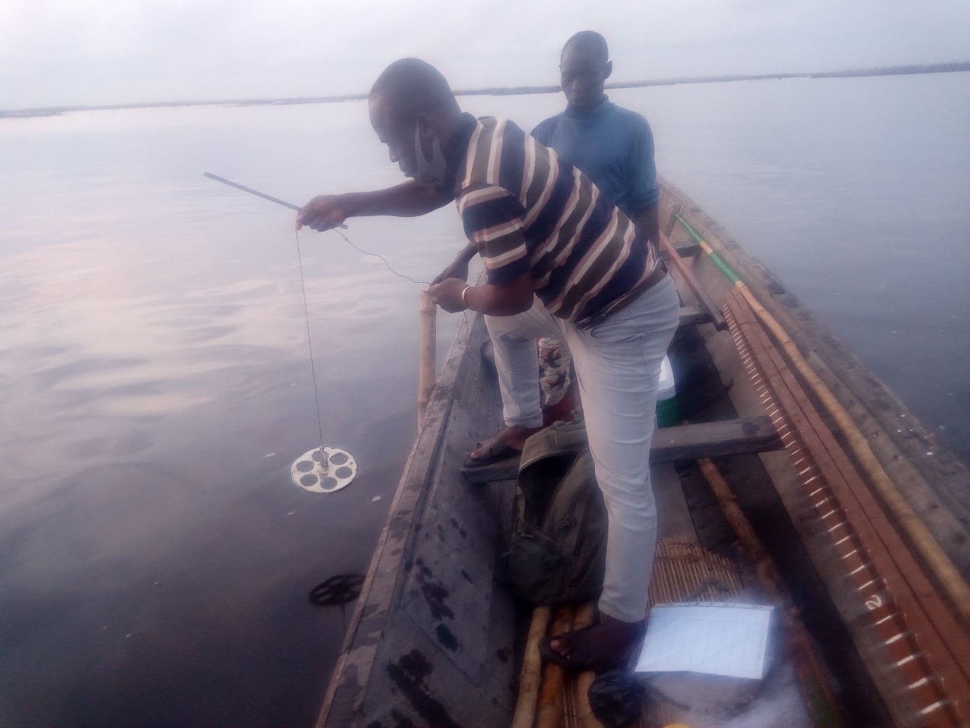
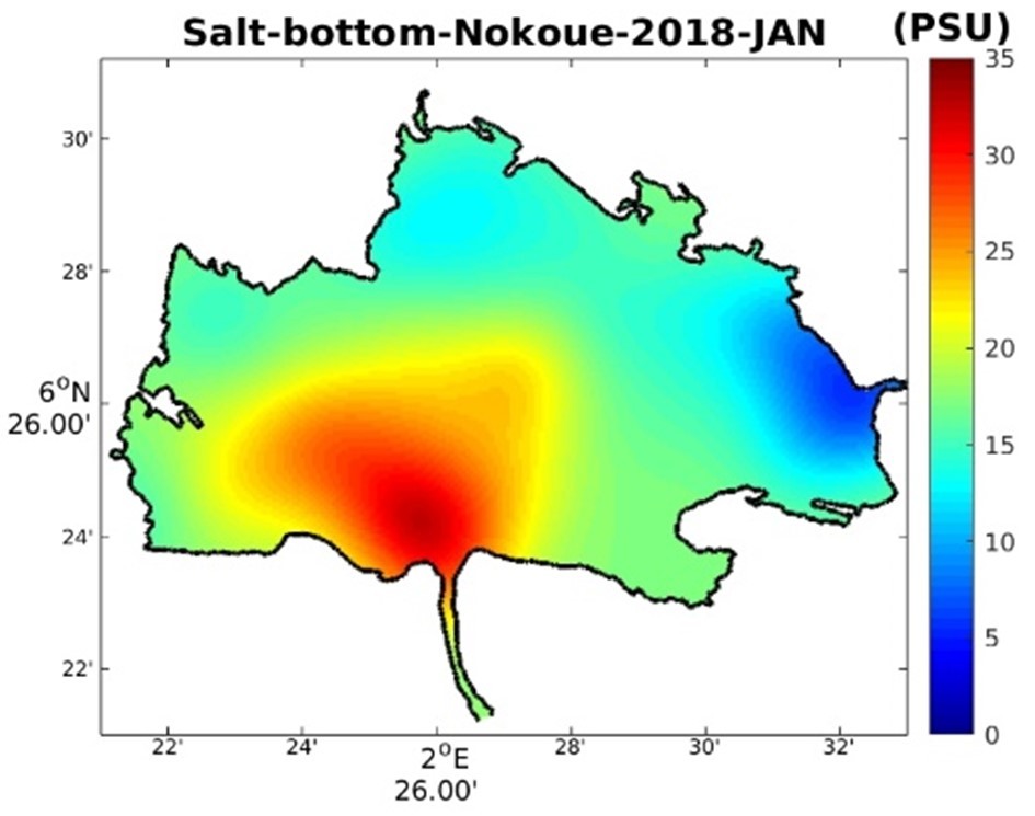
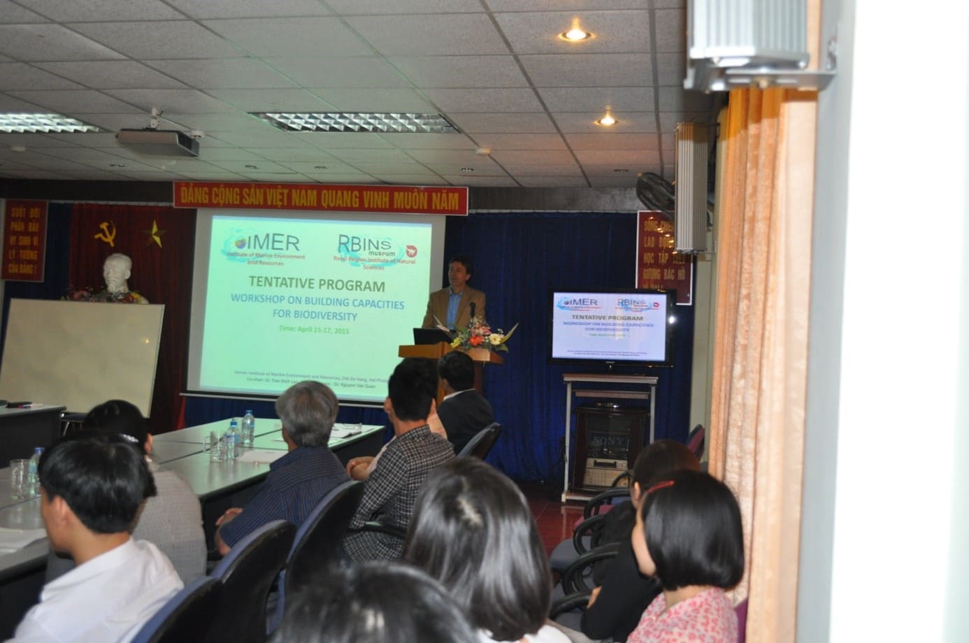
The strengthening of capacities in the field of remote sensing and marine modelling is among the more recent activities of the CEBioS programme. It builds upon the Measuring, Reporting and Verification (MRV) strategy and the development of biodiversity indicators, and is closely linked to CEBioS’ habitat monitoring activities.
The remote sensing and marine modelling activities are twofold:
- One aspect is capacity development in the form of scientific support, training and technical assistance to address the need for specific techniques that can support the preservation of the partner’s country biodiversity and ecosystem health. Those tools further aim at contributing to the development of biodiversity indicators that can be used to measure progress towards the targets of the Convention on Biological Diversity (CBD) and the objectives of national biodiversity strategies;
- The second aspect consists of scientific and community based workshops aiming at raising awareness among concerned stakeholders (including local populations and policy makers) on the importance of and the measures required for the monitoring and conservation of their national/local biodiversity. This process usually leads to the co-creation of policy briefs on specific issues related to ecosystem conservation and/or monitoring.
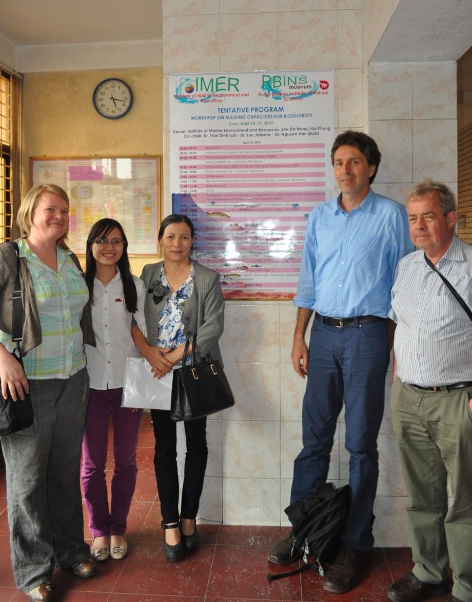
In this context, CEBioS is working with institutional partners in Benin and Vietnam:
- Institut de Recherches Halieutiques et Océanologiques du Bénin (IRHOB)
- Institute of Marine Environment and Resources (IMER) in Vietnam
CEBioS is also working towards developing new partnerships to extend the remote-sensing component of its capacity development and technical support activities, specifically in DR Congo, Burundi and Senegal.